

01
Data
Lakezone Geofence
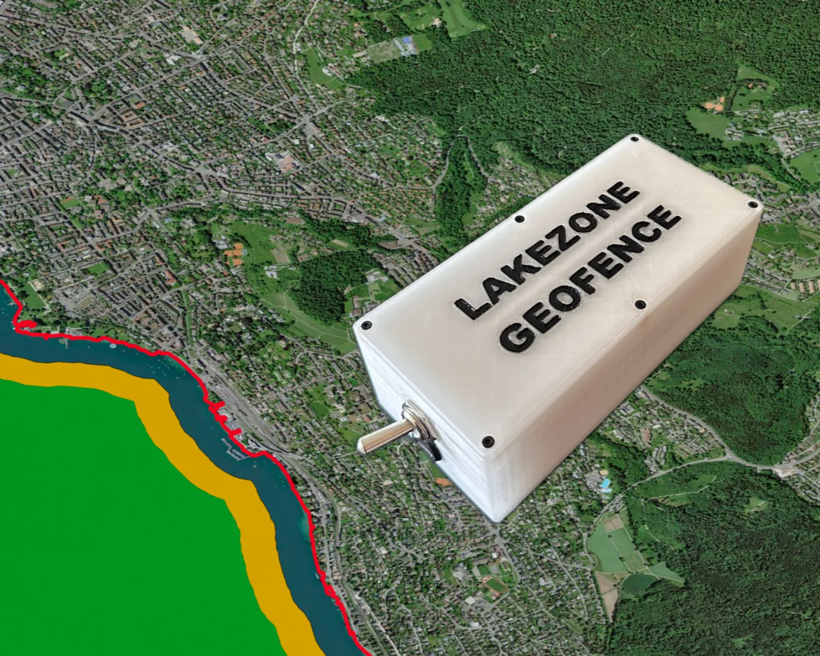
Navigating water bodies involves regulations similar to road rules, especially around lake shore zones where swimmers, paddleboarders, and wildlife need protection.
Estimating distances on open water can be challenging, making it easy to exceed speed limits or enter restricted zones unintentionally. The Lakezone Geofence project provides a solution by using GPS data to define and monitor virtual boundaries, offering real-time alerts for safer navigation and regulatory compliance.
Open project